
Walk a Nampa Street Record
A reliable street-by-street search is a chain. The Canyon County Assessor can tie a situs address to an owner, parcel number, mailing address, legal description, and last transfer. Those facts do not establish who sleeps at the address. They provide stable keys for the next record. Check jurisdiction before adding city permits or code cases because a Nampa mailing label may fall inside city limits, the Area of City Impact, or an unincorporated county pocket.
- Normalize the delivery address with USPS, then check the Nampa city-limit tool or county boundary layer.
- Search the assessor by property address. Save the parcel ID, situs, mailing address, subdivision, and legal description.
- Open Canyon County GIS, locate the parcel polygon, and click nearby parcels that share frontage or a boundary.
- Use the owner and legal description in the Recorder index. Follow grantor and grantee names through each transfer.
- For a named person, use VoteIdaho only as an individual registration check. For an old address, consult dated reverse directories.
This Nampa street directory workflow preserves the role of each match. The assessor shows ownership. A deed shows a recorded interest or transfer. A voter entry shows registration, subject to protected-record rules. An old directory is only a snapshot for its publication year.
Search Nampa Property by Address
The Canyon County Public Access property search offers Parcel ID and Property Address modes. Guest access is free. The Assessor says guest results can include ownership, assessed value, parcel number, short legal description, lot size, and the last transfer date or instrument. Free registration adds history and portfolio detail. Use less text when an exact street entry fails.
| Control | How to use it | Result or limit |
|---|---|---|
| Search mode | Choose Parcel ID or Property Address. | The selected mode sets what the query means. |
| Address query | Use Contains, spell out the street, and omit direction or suffix to broaden. | Returns candidate parcels rather than a household roll. |
| Wildcard | Use an asterisk where needed, such as Mount*. | Helps with a partial or variant street word. |
| Search Options | Open the advanced area only after the basic query. | The full advanced field set was not captured, so do not assume a specific filter. |
| Register or Login | Create the optional free account for more history. | Adds detail, but does not turn the parcel card into proof of occupancy. |
The key distinction is situs versus mailing address. Situs means the physical parcel location. Tax mail may go to an agent, bank, relative, another home, or an old address. Compare both, but do not merge them into one claim about a resident.
Map Nampa Streets With GIS
The Canyon County GIS information page describes parcel boundaries, city and county lines, historic subdivision plats, surveys, public computers, and map services. Open the interactive viewer, move along the street, click one parcel at a time, and carry each PIN back to the Assessor. Corner lots may front two streets. A vacant tract may lack an ordinary situs. Multi-unit sites should keep the unit or building field intact.
The source view below shows the county's GIS access point and its historical-map routes.
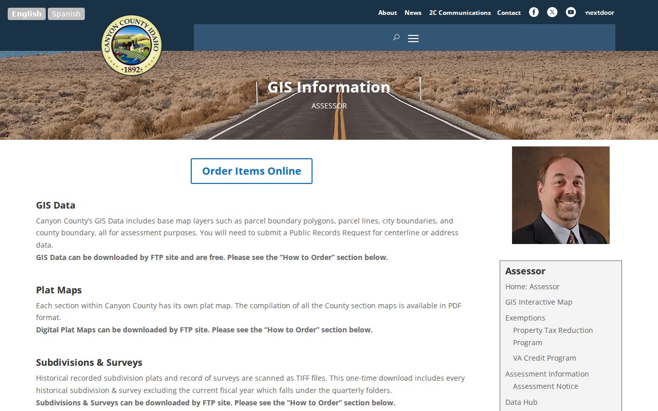
Use the page to reach official parcel and boundary material, then verify any field against the live viewer because its controls and layers can change.
- Parcel
- A mapped unit of land with a county identification number.
- Situs address
- The physical location assigned to the parcel, distinct from the tax mailing address.
- Plat
- A recorded map that identifies a subdivision, lots, blocks, roads, and related features.
- Criss-cross directory
- A printed directory arranged by street or address rather than only by surname.
Nampa Street Directory Sources
No single official roll answers every by-address question. The useful sources differ in scope, access, and the kind of person clue they supply. The table keeps those distinctions visible before a name is attached to a Nampa address.
| Record Set | Keeper | What It Shows | Access |
|---|---|---|---|
| Property card | Canyon County Assessor | Situs, owner, mailing address, PIN, legal description, value, transfer, and building traits | Free guest portal; free account adds history |
| GIS parcel map | Canyon County GIS | Parcel polygons, adjacent lots, city and county boundaries, and district layers | Free viewer and public parcel service |
| Recorded instruments | Canyon County Clerk/Recorder | Grantor, grantee, type, date, legal description, and prior references | Online index from 1984; office images and older microfilm |
| Voter information | Idaho SOS and Canyon Elections | A specific registration match and allowed public fields | Individual lookup or controlled report |
| Permits and code cases | City of Nampa or Canyon County | Permit, inspection, complaint, case, and lien clues keyed to address | Portal, contact, or public-record request |
| Historic directories | Libraries and Idaho State Archives | Dated occupant, spouse, trade, employer, and home or business notation | Microfilm, reading room, or staff request |
The parcel number and legal description are the best bridges between the first three rows. A street name is less stable. Keep the date, keeper, and jurisdiction beside every result so an old entry is not mistaken for a current resident.
Read the Nampa Street Grid
Nampa Engineering and GIS handle street naming and addressing within city limits and the Area of Impact. Canyon County Development Services GIS handles county roads, subdivisions, and addresses beyond city authority. The city addressing page links the rules and request forms; county questions go to GISAddressing@canyoncounty.id.gov or 208-402-4166.
In the core, the policy uses Lone Star Road, East Victory Road, and the railroad tracks for north and south orientation. Northside Boulevard, 12th Avenue Road, and North Yale Street help orient east and west. North and east sides are generally even, while south and west sides are generally odd. Winding roads and circles can vary. Beyond the core, blocks use 100-number increments. These rules help test a copied address, but they do not prove a person was there.
No official source found a single dated, citywide renumbering event. When an old number conflicts with a modern one, compare the printed street spelling, plat, Sanborn sheet, legal description, and deed. The city may readdress a confusing or unsafe number, so do not invent a renumbering year.
Follow Nampa Deeds by Street
Deed research for a street is really legal-description research. Start with one parcel and the last transfer instrument from the Assessor. Search the Canyon County Recorder index by party and then use the lot, block, subdivision, or metes-and-bounds description to hold the chain together. Search a seller as the buyer in the prior deal. Record the instrument number, date, type, parties, and any prior citation.
The online index and digital-document boundary is 1984 to the present. Microfilm and microfiche cover 1864 through 1997, and images are available through public terminals at the Recorder's office in Caldwell. The source view below comes from the official Recorder page.
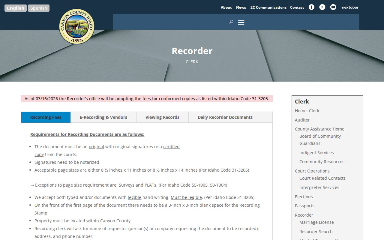
The office route matters because online metadata is not the same as an online document image. Bring a precise instrument number or date when requesting a copy.
Nampa Deed Terms Find More
An address-record search that asks only for deeds can miss records that explain the chain. Canyon County's official subtype list includes easements, plats, liens, probate, quiet title, tax deeds, powers of attorney, judgments, releases, and satisfied mortgages. A release may close an earlier lien. A probate or quiet-title filing may explain why the seller's name changed without a routine sale.
The Recorder accepts in-person research at 111 N 11th Avenue, Suite 330, Caldwell. Nampa is not the county seat, which is why a county deed or court trail leads west to Caldwell rather than to a Nampa city counter. Public terminals extend the practical search beyond what can be viewed at home. Written requests work best when they name the instrument, legal description, date range, and document type.
Note: A street address alone is fragile in older books, while a recorded lot, block, subdivision, and instrument number form a stronger request.
Nampa Address Permit Clues
The City of Nampa's Citizen Self Service permit route can connect an address with permit or inspection activity. Building Safety also takes inquiries about permits, plan review, inspections, and special investigations. The exact public result fields and historical start date were not verified, so a failed portal search should move to a focused contact or city public-record request.
Code records require care. Nampa provides complaint, status, violation-case, and abatement-lien routes, but a complaint is only an allegation until an officer makes a finding. Anonymous complaints are possible. Confirm the boundary first because an address outside city authority belongs with Canyon County. Permit applicants and contractors can be named in records, yet neither role proves that the person lived at the site.
Nampa Voters Are Not a Roster
VoteIdaho can help check one registration match, and the state offers a paid voter-report request process. Neither should be presented as a free browse of all people on a Nampa block. Public voter fields may include name, residence and mailing address, county, age, gender, optional phone, declared party, and yes-or-no participation history. Ballot choices are never shown.
The physical registration card is not public. Driver-license or ID data, the last four digits of a Social Security number, full birth date, and signature stay protected. Idaho Code §34-437A(3) bars advertising, offers, and solicitation based on voter information. Address Confidentiality Program records are shielded. Treat “not found” as no public match, not proof that a person never lived on the street.
Read Old Nampa Street Entries
A 1945 directory can carry a spouse in parentheses, a widow marker, a trade, an employer, and separate office and home addresses. Local examples also use fractional addresses and short forms such as h, r, and do. Always check the volume's abbreviation key. A business at a home or a separate office address can otherwise look like two unrelated people.
Use the Nampa city directory collections for the shelf-level years and reading method. For a street search, the key is the reverse or criss-cross section, if a specific volume has one. The archive holdings list does not promise that every volume includes an address index. This old street directory evidence is dated, and it should be paired with deeds, census records, maps, or newspapers.
Nampa Street Directory Limits
A parcel card does not name every person in a home. Renters, relatives, guests, and other household members may have no public tie to the property. Tax mail can go elsewhere. Utility customers, driver records, school enrollment, protected voter addresses, sealed court files, and private association rolls are not substitutes for a public address roll. GIS adjacency also says nothing about personal ties between people.
Use two records before treating a same-name match as the same person. A middle initial, spouse, parcel, date, occupation, or legal description can separate people who share a name. Keep historical evidence in its own time period. If the purpose changes from a whole street to one named person, the Nampa resident lookup explains that verification path.
Lawful use. Use Nampa address records for lawful personal research. Never use a name or address to stalk, harass, threaten, or harm anyone.