
Nampa Neighbors by Block
Public records describe a Nampa block in layers. Canyon County GIS lays out the parcels. Assessor cards name owners and distinguish a physical situs from a tax mailing address. Deeds and plats explain the legal lots, while permits, historic directories, and public association pages add dated context. None of them is a complete household roll.
| Source | What It Shows About a Block | Access |
|---|---|---|
| Canyon GIS | Adjacent parcel shapes, corners, alleys, subdivisions, and districts | Free interactive map |
| Assessor cards | Owner, mailing and situs address, parcel, and building facts | Free guest portal |
| Recorder deeds and plats | Ownership sequence, lot and block, easements, covenants, and shared access | Online index, office images, paid copies |
| City or county records | Public permit, code, and abatement material keyed to an address | Portal, contact, or records request |
| Historic directories | Dated occupants or businesses listed by address | Library and archive reels |
| Community groups | Boundaries, meetings, contacts, committees, or covenants | Public pages; no assumed member list |
The result is a map of public facts, not a list of everyone who lives nearby. An owner may use another mailing address. A renter may not appear at all. Keep those limits attached to each result.
Jurisdiction comes first because a Nampa mailing label may fall inside city limits, the Area of Impact, or an unincorporated county pocket. That choice changes the office responsible for addressing, permits, and code files. Use the city limit tool and county boundary layer before assigning a nearby record to Nampa government.
Map Nampa Neighbor Parcels
Open the Canyon County GIS Interactive Map and locate the starting parcel by address or parcel ID. The current viewer's exact button names may change, but the stable method is map-first: identify the target polygon, then inspect only the polygons that share a boundary or street frontage.
- Confirm whether the address is inside Nampa, its Area of Impact, or unincorporated Canyon County.
- Click the target parcel and save its parcel number, situs, legal lot, and map position.
- Pan or zoom to each adjoining polygon, including corner lots and parcels across the street.
- Open each selected parcel separately in the Assessor search to confirm its public owner data.
- Use a deed or plat only when the legal relationship between lots matters.
The flow is address → jurisdiction → parcel polygon → adjoining parcel IDs → assessor cards → selected deeds or public permits. For a full named street rather than the immediate block, use the Nampa Street Directory.
Corner lots deserve a second look. Save both frontages and the legal parcel shape. Alleys, vacant lots, shared drives, and rear access can make the closest polygon different from the parcel that seems closest from the road. The county map may also display district or use layers that add context without naming any resident.
Nampa Parcels Are Not Households
A parcel card proves facts about the land and the recorded owner. It does not identify every occupant. Compare the situs, which is the physical property address, with the mailing address used for tax notices. Matching addresses may suggest owner occupancy, but even that is not proof of everyone present.
- Parcel
- A mapped unit of land with a county identifier.
- Situs address
- The physical location assigned to the property.
- Mailing address
- The place where the owner receives tax notices, which may be elsewhere.
- Plat
- A recorded map defining subdivision lots, blocks, easements, and streets.
Multi-unit and campus addresses need extra care. Retain the unit or building field, and do not collapse separate units into one household. For a lot without an ordinary situs, keep the parcel number, subdivision, lot, and block.
Old Nampa Neighbors in Context
Old Nampa offers a strong geography and human-history layer. The historic district has 243 homes and a period of significance from 1910 through 1940. Craftsman, bungalow, Queen Anne, Dutch Colonial, and Prairie forms help date the built setting, but architectural style does not identify an occupant.
The Old Nampa Neighborhood Association gives residents, workers, and property owners a civic route within the district. Its boundaries are described around North Yale, 4th and 7th, High and Fairview, 10th and Roosevelt, and 11th Avenue in the preservation material. Pair that boundary with parcels, a dated city directory, and a Sanborn map when researching historic neighbors.
Note: Nampa's major 1909 fire is a city history fact, not proof that Canyon County courthouse records were destroyed.
Nampa Community Directory Layer
Public association pages can identify a neighborhood name, board contact, meeting, committee, event, or set of covenants. They do not grant access to a private membership roster. Contact the group through its published channel when the goal is civic participation or a question about shared rules.
Old Nampa
Historic-district participation and preservation context for residents, workers, and property owners.
Summit Ridge HOA
Community and committee information for the Nampa development at East Greenhurst Road.
Hunter's Point HOA
Public bylaws, covenants, board, and committee material, not a member roll.
Downtown Nampa
Business, event, depot, and historic-core connections rather than household records.
The public Summit Ridge community site is captured below. Its visible community material is useful for confirming the association layer without claiming access to private residents.
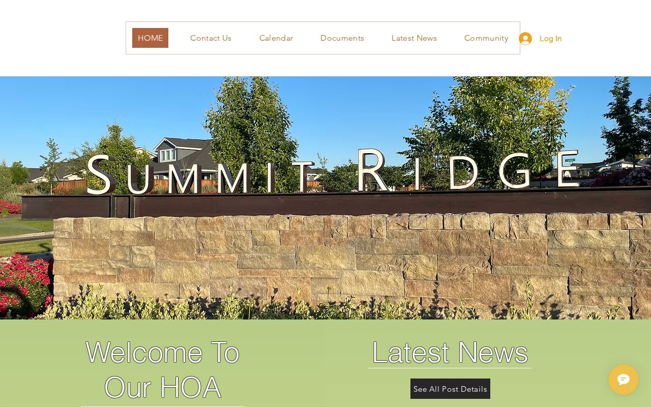
The page supports a community contact or governance question. It should not be treated as an address list.
Compare Nampa Neighbor Deeds
When two parcels share an alley, drive, boundary, or subdivision feature, use the Canyon County Recorder. Start with each parcel's legal description and current instrument. Search grantor and grantee names, then inspect the plat, easement, covenant, release, or other subtype that answers the specific issue.
The online index is described as covering 1984 to the present. Images are available through public office terminals, while microfilm and microfiche extend through older county material. A deed can establish title or an easement. It cannot establish every person who occupied either parcel.
Recorded vocabulary matters. A search limited to warranty deeds may miss a plat, release, lien satisfaction, covenant, probate instrument, quiet-title action, tax deed, or power of attorney. Use the Recorder's subtype list as a translation key, and request only the document that explains the shared parcel feature.
Nampa Block Safety Records
Public safety records should be used for the narrow question each system answers. The Canyon County Jail Roster shows county custody status, not a neighborhood resident roll. Its public interface appears below as one official channel.
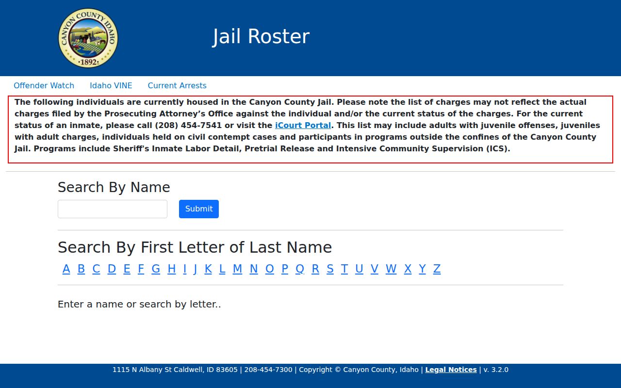
A roster entry can change, and it must not be converted into a claim about a person's current home or guilt.
The Canyon County Sheriff Civil Records page supplies written request and property-crime routes.
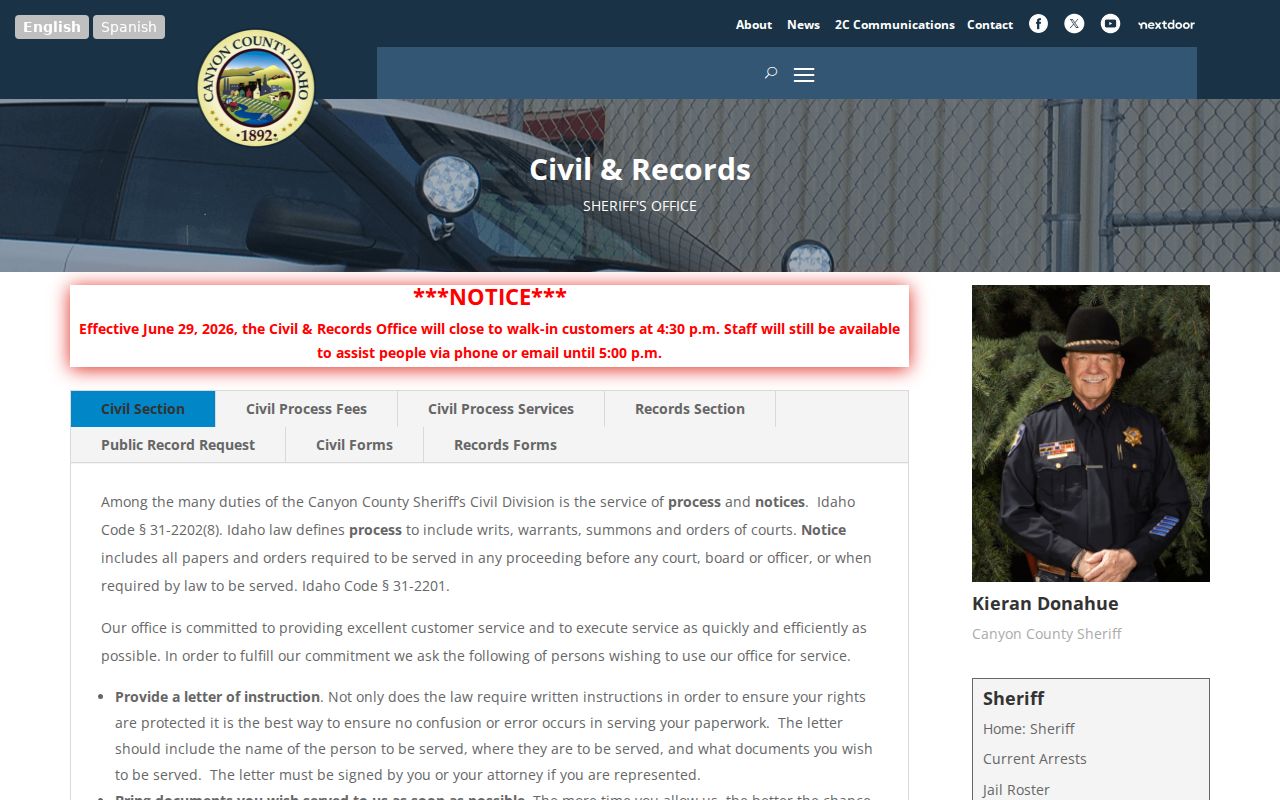
That office route is appropriate for a specific public incident record, not for collecting personal details about everyone nearby.
Nampa Businesses on the Block
A mixed-use block may include a public business filing or license. Idaho SOSBiz can connect an entity name or file number to public filing details. A registered-agent address is a business-service clue, not proof that the agent owns the company or lives at that location.
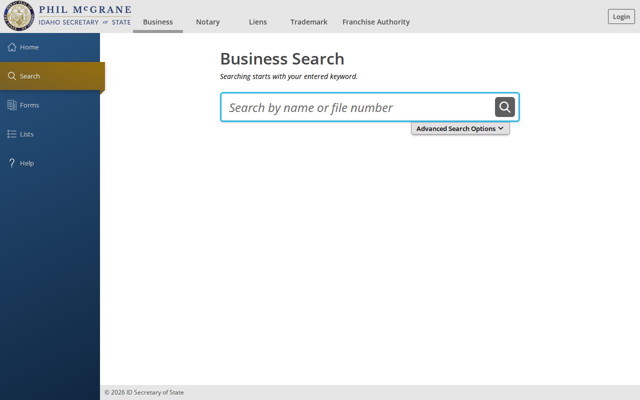
The search screen helps distinguish a lawful entity check from a household search. City licenses and state credential systems can add another dated public affiliation.
Nampa Neighbor Source Comparison
Official sources are slower because they divide facts by legal purpose. That division is useful. It lets a reader see whether a claim came from a parcel, deed, permit, court, archive, or association. Commercial neighbor tools may blend old addresses and marketing data without preserving that chain.
| Source Type | Strength | Limit |
|---|---|---|
| Official roll or map | Named custodian, current fields, clear record purpose | Shows only the public fields in that system |
| Library or archive | Dated editions and local context | Historical snapshot, possible gaps |
| Association page | Public boundary, contact, meeting, or rules | No assumed private roster |
| Commercial compilation | May collect broad leads | Can be stale, merged, costly, or hard to source |
Prefer the record with the clearest custodian and date. Verify a copied fact at that original source.
Historic sources need the same discipline. A criss-cross directory can list an occupant by street address for one edition, while a Sanborn map shows the building footprint and use in another year. Nampa Library microfilm and Idaho State Archives directories preserve these dated layers. Neither should be carried forward as a claim about today's neighbors.
Respect Nampa Neighbor Privacy
Private household members, utility customers, school enrollment, motor-vehicle addresses, sealed court files, adoption records, private HOA membership lists, and unverified compiled profiles do not belong in a public block inventory. Idaho's Address Confidentiality Program also protects qualified survivors through a substitute address and confidential voter registration.
Voter information is not a free block roster. Idaho law protects the physical registration card's ID, full birth date, and signature, and Idaho Code §34-437A(3) restricts advertising and solicitation use. A specific lawful registration check is different from publishing everyone on a street.
If a public record is wrong, contact its custodian instead of spreading the error. Parcel questions go to the Canyon County Assessor. City permit or code questions go to Nampa Building Safety or the city records request system. A private association should be approached through its published board or committee contact, not through an inferred member address.
Lawful use. Research Nampa neighbors for civic connection, property context, or personal safety. Never watch, threaten, harass, or evade a protected address.